Monaco’s most useful transport network charges nothing, and most visitors walk past its doors without noticing. The principality is built on a Mediterranean slope with more than 160 metres of height difference between the sea and its upper streets — and its answer is a web of public elevators, escalators and covered stairways that turns a mountain town into a flat one.
The government counts some 79 public lifts, 35 escalators and 8 moving walkways; our own OpenStreetMap-based interactive map currently plots 65 lifts and more than 230 public stairways, each one placed on the map. Residents use them constantly. Visitors who find them see a different city.
How the network works
Think of Monaco as a building rather than a town: the streets are corridors, and the public lifts are its elevator shafts. They hide in plain sight — a glass door in a retaining wall, an entrance at the back of a car park, an escalator climbing through the cliff face. Inside, they are clean, lit, free, and most run around the clock (a few keep shorter hours).
The lifts chain together. A typical descent from the upper town to the sea might link two lifts and an escalator without ever walking a switchback road. Once you start seeing the entrances, the city rearranges itself: distances on the map stop mattering and vertical shortcuts become the real geography. The city’s “Monaco Malin” brochure documents the official network; our map shows it in one view.
Five links worth knowing
A few connections do most of the work for visitors:
Place des Moulins ↔ Larvotto beach — the classic: escalators and lifts drop you from the shopping streets of Monte-Carlo straight to the beach promenade.
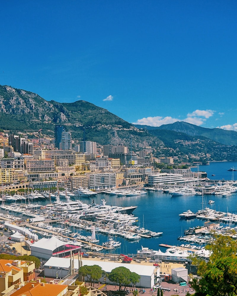
The port ↔ Monte-Carlo — link lifts on the eastern side of the harbour to climb from Port Hercule toward the casino gardens without the hill.
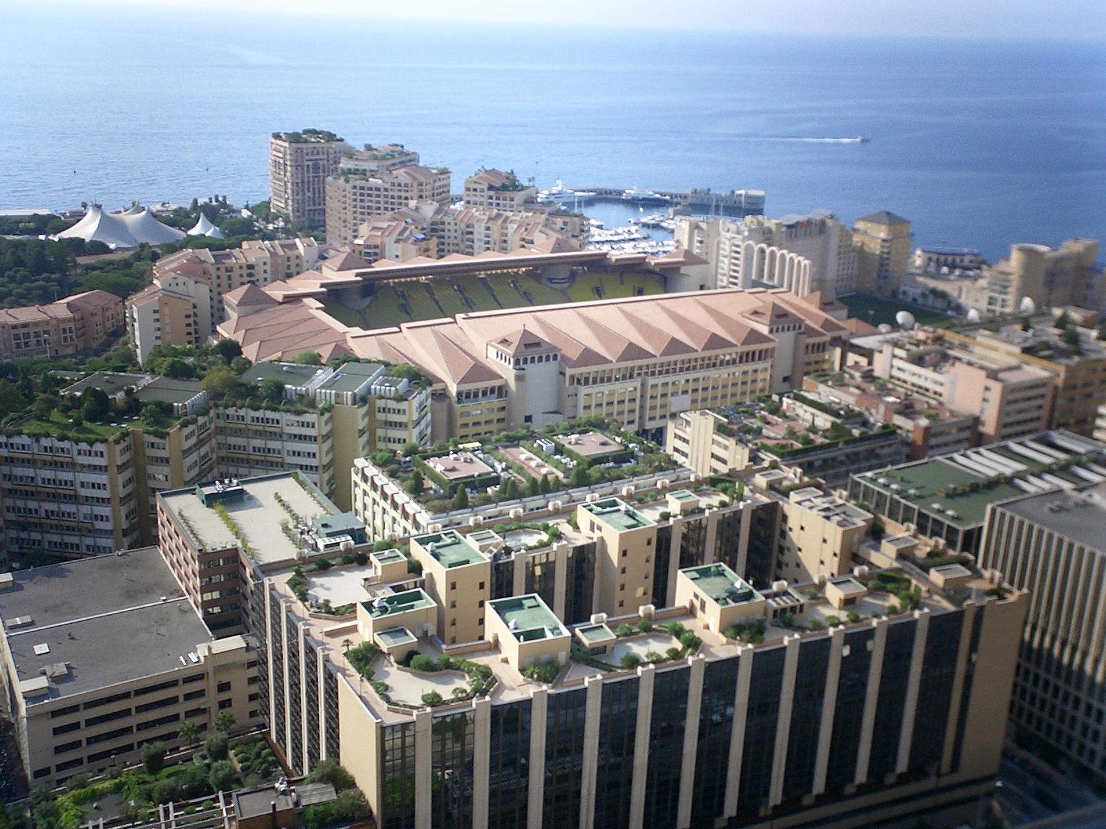
Jardin Exotique cliff ↔ Fontvieille — the most dramatic drop in the network, connecting the high western corniche down toward Fontvieille and its rose garden. The same quartier holds Stade Louis II and the AS Monaco store — our AS Monaco & Stade Louis II guide covers match days, tickets and the stadium without the hill panic.
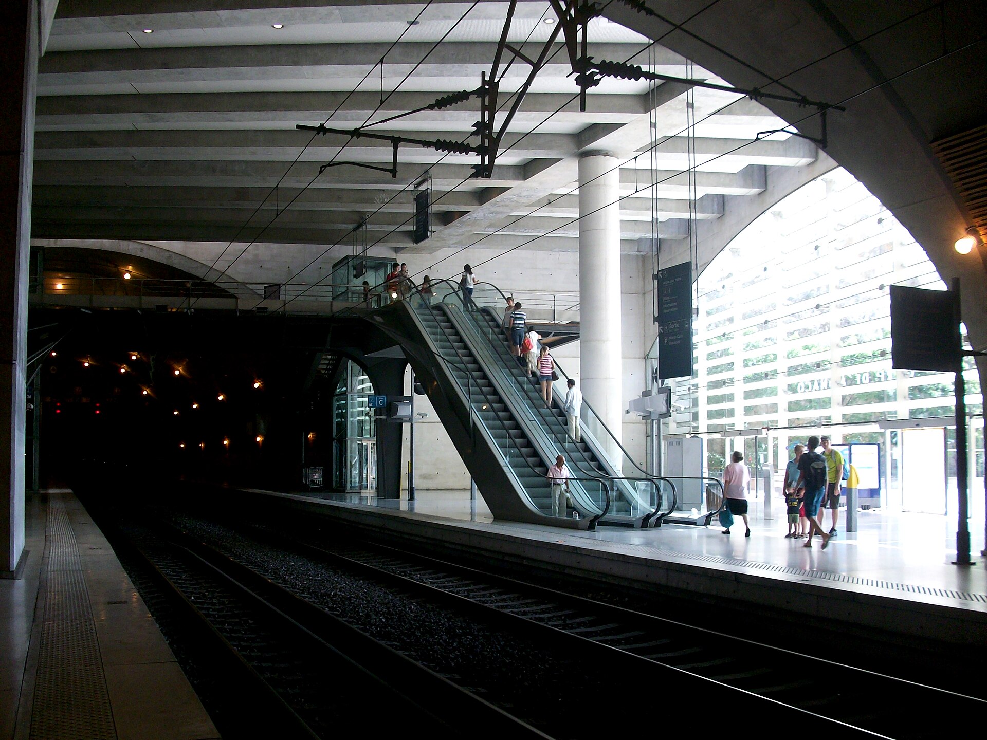
Place Sainte-Dévote ↔ the station — Monaco Monte-Carlo station is itself a vertical hub, its underground galleries linking exits at several different altitudes of the city.
Le Rocher ramps — the old town remains the one quarter you still climb the honest way; the Rampe Major from Place d’Armes is the historical route up.
Places


Walk the vertical city
We built a walking route specifically around the network: Vertical Monaco links the best lifts and escalators — 2 km of walking that would be 200+ metres of climbing without them. It is the fastest way to understand how residents actually move.
If you prefer ground level, the coastal path to Larvotto and the Port Hercule loop stay flat by design.
Walks


Why it exists
The network is a byproduct of Monaco’s only real constraint: land. With two square kilometres pinned between sea and mountain, the principality builds upward and inward — and every new tower, car park and reclaimed district (most recently Mareterra) comes threaded with public passages. The result is accessibility infrastructure few cities can match: prams, wheelchairs and luggage all move through Monaco with surprising ease.
Frequently asked questions
Are Monaco’s public elevators free?
Yes — the public lifts, escalators and covered stairways are free to use. Most run continuously; a handful keep limited night hours.
How many public elevators does Monaco have?
The Monaco government counts around 79 public lifts, 35 escalators and 8 moving walkways. Our OpenStreetMap-based city map currently plots 65 public lifts and more than 230 public stairways within the principality’s 2 km² — a remarkably dense vertical pedestrian network.
Is Monaco hard to walk with limited mobility?
Less than its cliff-side setting suggests. The elevator and escalator network removes most climbs between the port, Monte-Carlo, Larvotto and Fontvieille. The medieval old town on the Rock is the main exception, reached by ramps and buses rather than lifts.
How do I find the elevators?
Look for discreet glass doors in retaining walls, signed "ascenseur public", often near car parks. The city’s "Monaco Malin" brochure lists the official network, and our interactive map plots every lift and stairway.